The OFDS Kenya Geoportal helps regulators, operators and infrastructure owners share fibre data at the right level of detail — for better planning, faster rollout, and informed digital policy. No precise coordinates exposed publicly.
Upload CSV, Excel, Shapefile, GeoJSON or KML. Map your fields to OFDS. Run validation. Export an OFDS JSON or a CSV bundle, with a full mapping crosswalk and a machine-readable report.
Step-by-step wizard with auto-suggested field mappings and saved templates per operator.
Required-field checks, CRS detection, ID integrity, topology, and metadata completeness scoring.
L1 schema-only, L2 aggregated (no precise coords), or L3 controlled detailed with approval workflow.
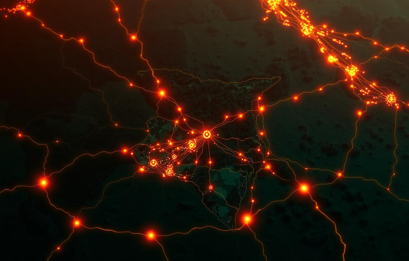
Public county-level coverage map for citizens; secure detailed views for approved reviewers.
Stakeholders contribute and consume data at one of three tiers. Public users never see precise node coordinates.
Schemas, data dictionaries, crosswalks and sample non-spatial tables. No geometry required.
County, sub-county or grid summaries. Precise coordinates are stripped on output.
Full detailed data, granted by Admin approval, with audit logs on every access and download.
Reach out to the secretariat to set up your stakeholder account, then convert your first dataset to OFDS in under fifteen minutes.